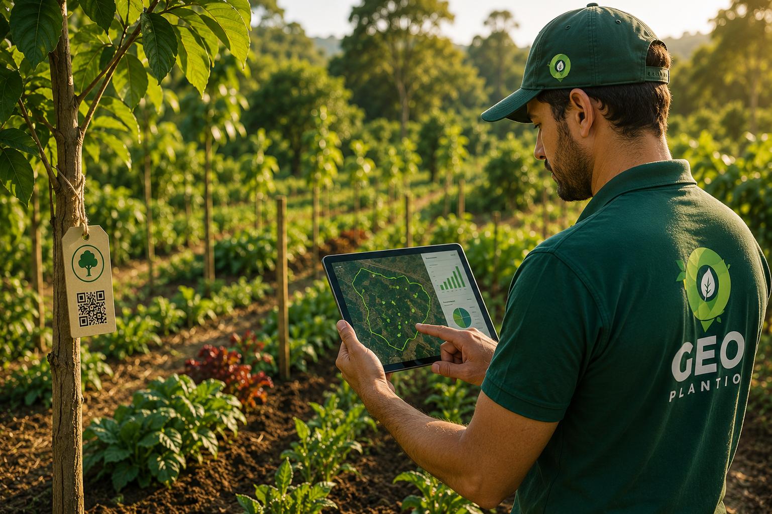
Planting a tree is only the first step. What happens next — whether it survives, grows healthy, needs pruning or replacement — is often where forestry and restoration projects fail, simply because no one is tracking it closely. That's the problem georeferenced tree inventories solve, and it's one of the central technology pillars of GeoPlantio's work.
A tree inventory is, in practice, a database that records each tree individually: its exact location via geographic coordinates, species, planting date, phytosanitary condition, size, and management history. When that inventory is georeferenced and maintained on a digital platform, it becomes a powerful management tool — for municipalities, companies, and restoration projects.
The problem the inventory solves
Without a structured inventory, knowledge about an area's trees stays scattered — in the memory of whoever planted them, in outdated spreadsheets, or simply lost when the responsible team changes. That makes it nearly impossible to answer basic but essential questions: how many trees survived from the original planting? Which species have the best survival rate in that specific region? Where are the trees that need urgent intervention?
A georeferenced inventory turns these questions into objective, queryable answers, available at any time to any authorized team member — not just to whoever "remembers" what the area looked like two years ago.
How it works in practice
- Field data collection: every tree planted or already existing in the area is georeferenced with precision GPS equipment and given a unique identifier.
- Attribute recording: species, height, trunk diameter (DBH), health status, planting date, and specific observations are recorded alongside the coordinates.
- Periodic updates: scheduled inspections update each tree's status over time, building a history that reveals trends — for example, if a given species shows a higher-than-expected mortality rate under certain soil conditions.
- Map visualization: all data is available on a platform with geospatial visualization, letting you see the entire project from above, with filters by species, age, health status, or any other attribute.
Applications in urban forestry
For municipalities, a tree inventory is a public management tool. It enables planning preventive pruning before heavy rain seasons, identifying trees at risk of falling before they cause accidents, prioritizing the replacement of diseased or aging individuals, and grounding new-planting decisions in real data about which species perform best in each neighborhood or urban soil type.
Without this kind of data, urban forestry management tends to be reactive — a tree only gets pruned or removed after it's already caused a problem. With the inventory, management becomes preventive instead.
Applications in restoration projects
In forest restoration and SAF projects, the georeferenced inventory is the foundation of any monitoring report — whether to meet legal environmental restoration requirements, or to prove results to companies funding carbon offset or ESG projects. It allows you to demonstrate, with verifiable data, how many trees were planted, how many survived, and how vegetation cover evolved over the years — information increasingly demanded by certifiers and socio-environmental impact investors.
"A planting without monitoring is a bet. A planting with a georeferenced inventory is an investment you can track, year after year." — Gustavo Pacheco, GeoPlantio
Accessible technology at different scales
One of GeoPlantio's goals in developing tree inventory tools is making them accessible both for large-scale projects — like the complete tree census of a municipality — and for smaller initiatives, like monitoring a single SAF on one rural property. Geoprocessing technology that used to be restricted to large public agencies or specialized consultancies is increasingly available to small producers and communities too.
What comes after the inventory
A well-maintained tree inventory isn't an end in itself — it's the data foundation that feeds impact reports, tracking dashboards for funders, and increasingly precise management decisions. The longer a project accumulates monitoring data, the more valuable that foundation becomes, revealing patterns that would be invisible in a one-time analysis.
Want to set up a tree inventory for your project or municipality?
GeoPlantio implements custom georeferenced inventory and continuous monitoring systems.
Talk to our team